Synopsis: This master plan documented and mapped the historical development patterns of the Pike’s Place district straddling Seattle’s waterfront and city center to inform responsible future transformations that built on its distinctive network of walkways, stairs, piers, towers, bridges, and retaining walls to knit together a historically informed, socially interactive development of urban nodes, landscapes, and pedestrian networks.
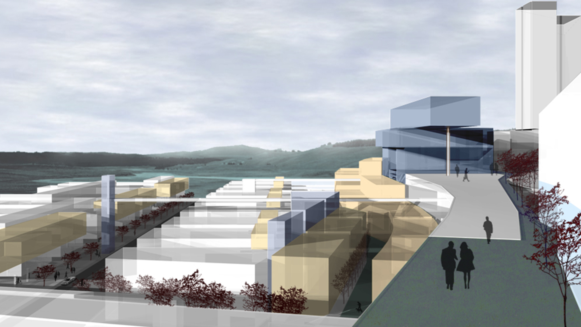
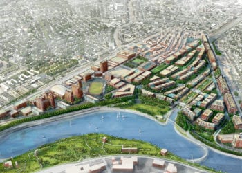
Detailed Description: Seattle’s economic boom has placed added pressures on its downtown and waterfront. The once-vacant parking lots and open spaces are increasingly being developed while older structures are rehabilitated. The debate over the redesign of Highway 99, which separates the downtown from the waterfront and its piers, presented an opportunity to propose new ways to redevelop the waterfront and city center, centered around Pike’s Place, to build upon the city’s exceptional qualities, history, and spectacular landscape features.
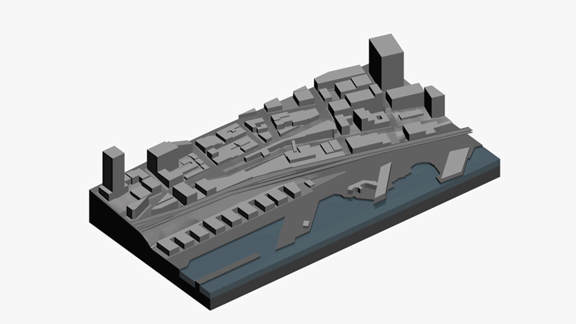
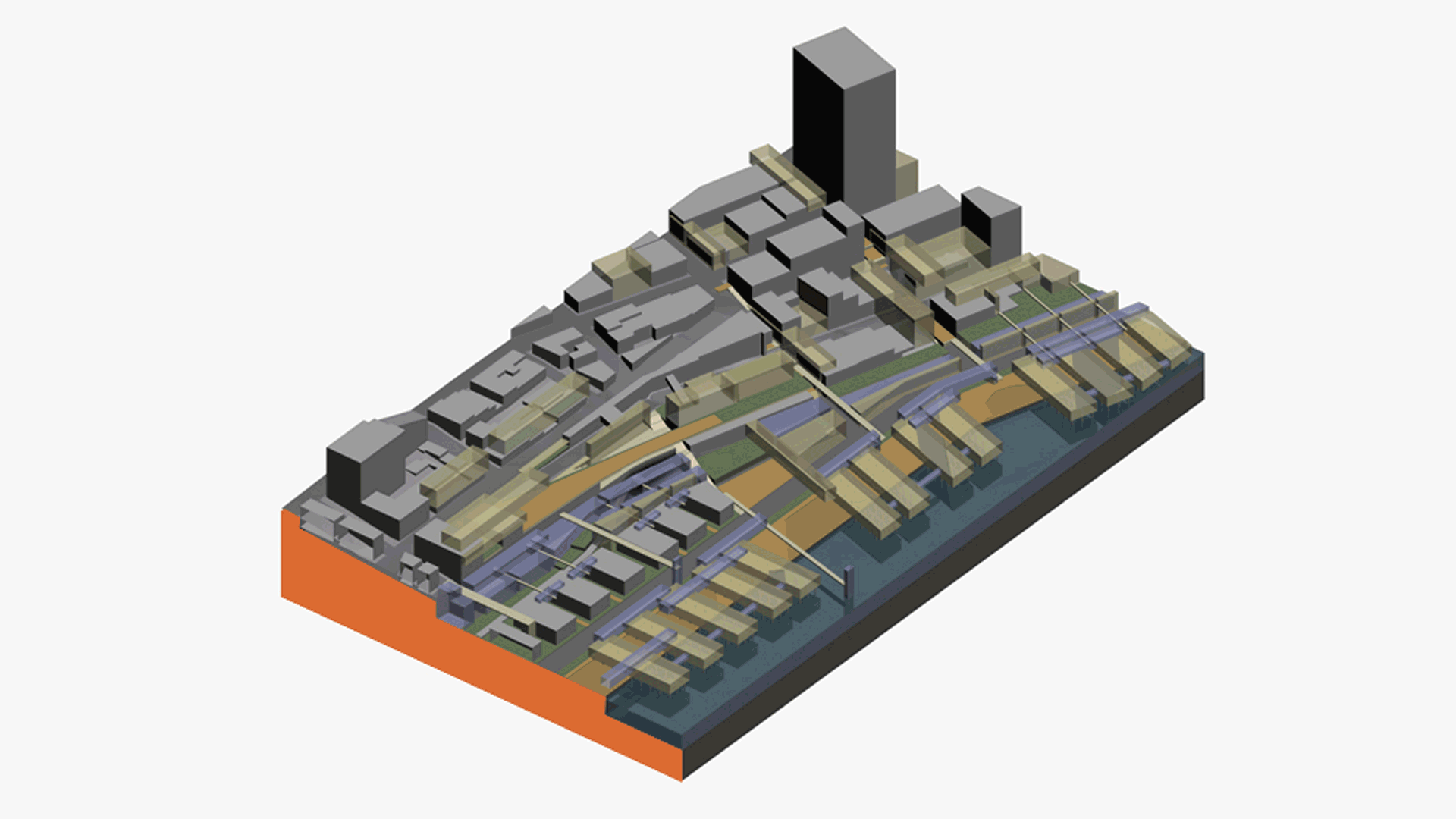
The area around Pike’s Place boasts a distinctive network of walkways, stairs, bridges, and retaining walls required to inhabit and navigate the hillside. These physical systems, as well as Seattle’s historical development patterns, were documented and extensively mapped. Based on the information distilled from these maps, design decisions were projected through computer simulations demonstrating Seattle’s potential for future transformation. Building typologies, which combined elements already found in the area (piers, stairs, towers, bridges, etc.), were united in unique configurations as required to accommodate site conditions or program requirements.